Hike around the Feldberger Haussee

Route

10 km

© Kurverwaltung Feldberger Seenlandschaft

Starting point: At the frequently mentioned parking lot in Strelitzer Straße in Feldberg (near the tourist information office). From there, follow Kastanienallee in the direction of "Stieglitzenkrug".

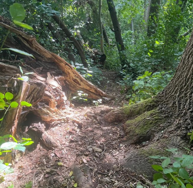
Trail conditions: The trail leads partly on asphalt or paved paths (especially in the village/Feldberg part), partly on natural paths and forest trails - partly directly along the water, partly through densely overgrown shore zones.

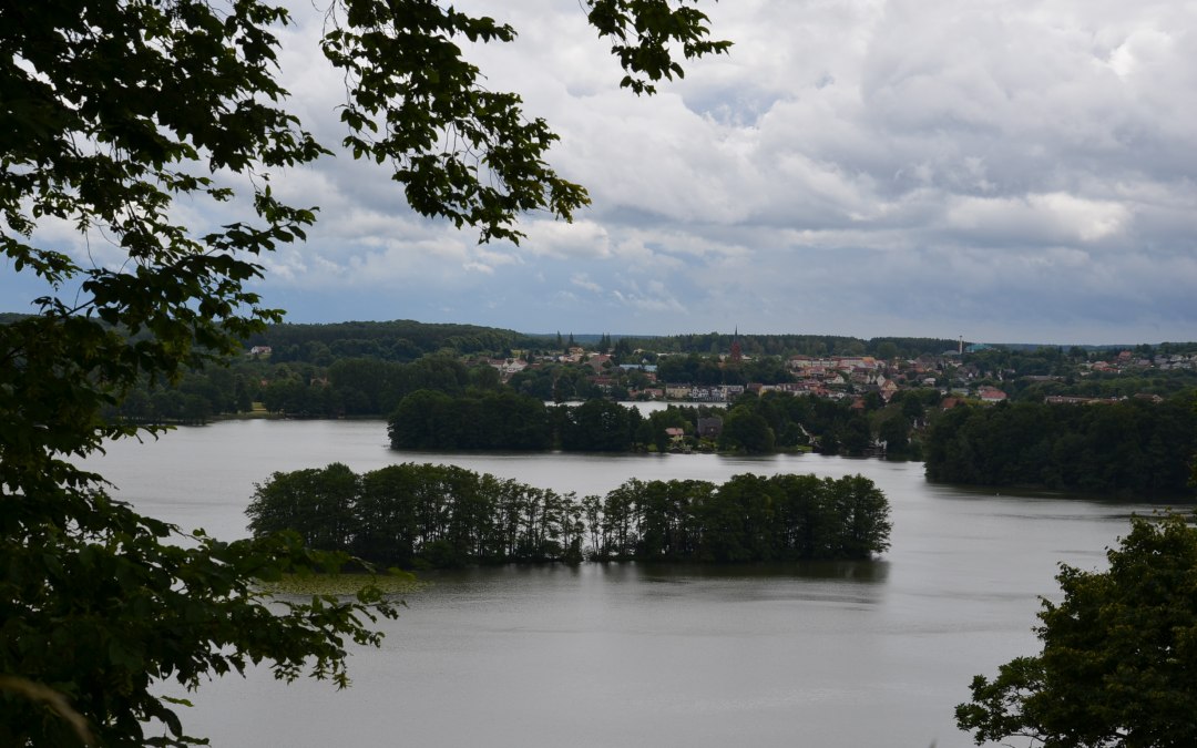
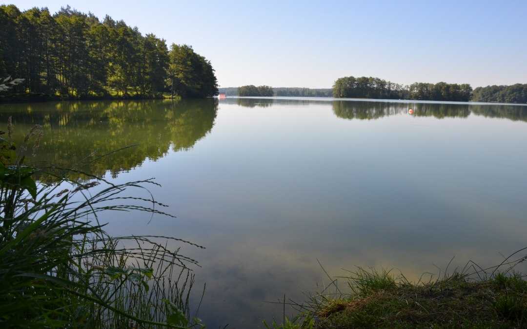
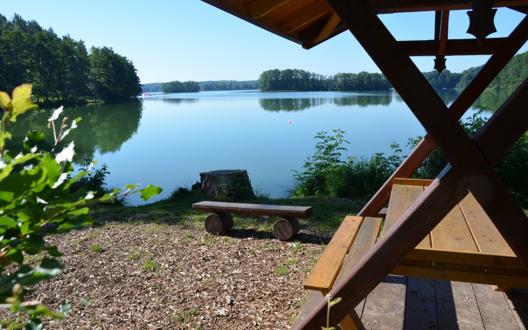
Heights and viewpoints: There are slight differences in altitude (around 50 m) - so you have to hike downhill at the start and uphill again at the end. About halfway along the route, the ascent to the Reiherberg is inviting - from there you have a beautiful view of the lake and landscape.
Service

Arrival
More information

Similar tours

  1. © TZ Südliche Boddenküste

    Saale forest biotopes

    Read more: "Saale forest biotopes"
  2. Worthwhile wooden path: on the Darß many paths lead directly to the sea // © TVFDZ/outdoor-visions.com

    Lighthouse trail

    Read more: "Lighthouse trail"
  3. © Foto: Touristinformationen Wesenberg & Mirow, Mecklenburgische Kleinseenplatte

    High bridge hiking trail

    Read more: "High bridge hiking trail"
1- 0 from 0